
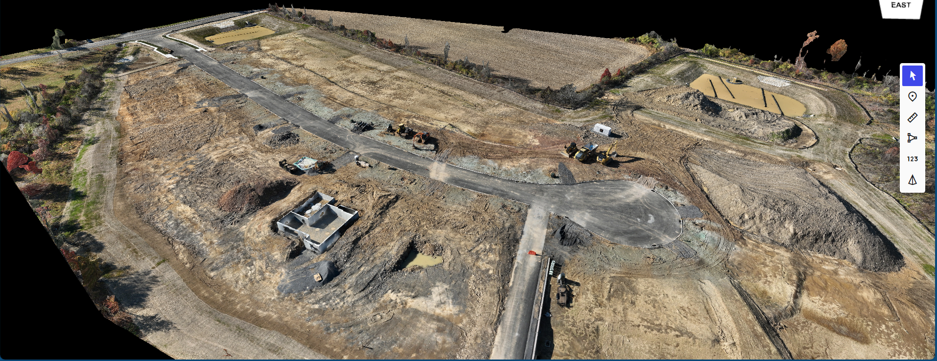
Aerial mapping brings precision and clarity to every stage of development. This image showcases a construction site captured and processed for accurate site documentation, progress tracking, and measurement. Wings Level Aviation delivers detailed orthomosaics, contour overlays, and 3D mapping data that help builders verify work completed, manage logistics, and communicate updates with confidence.
From groundwork to completion, our drone-based mapping ensures reliable data and a complete view of your project—every time.