
Multispectral Crop Monitoring
Beyond the Naked Eye: Crop Health Mapped with Precision
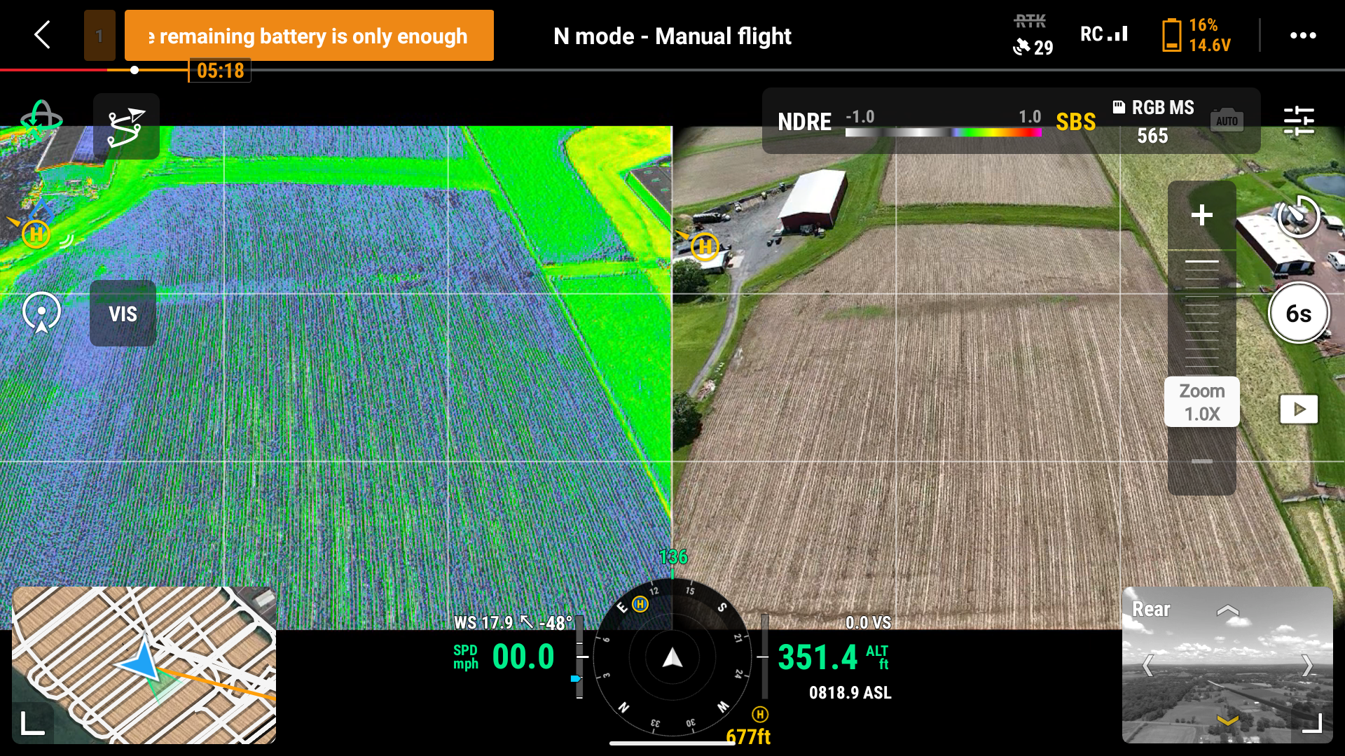
Multispectral imaging reveals what standard photography can’t. The NDRE overlay (left) exposes subtle variations in crop vigor, chlorophyll content, and nutrient stress that remain invisible in the RGB image (right).
By merging visual and spectral data, Wings Level Aerial Data & Imaging delivers actionable insights that help farmers fine-tune fertilizer applications, adjust irrigation, and monitor crop performance throughout the season.
This powerful contrast transforms raw imagery into meaningful agronomic intelligence—allowing growers to identify nutrient deficiencies, optimize input zones, and track development in real time. The result: greater efficiency, healthier crops, and higher yields with less waste.
From imagery to insight—turn data into better harvests.