Our Work
Real Projects. Real Results.
At Wings Level Aerial Data & Imaging, every flight has a purpose.
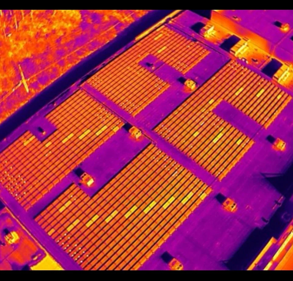
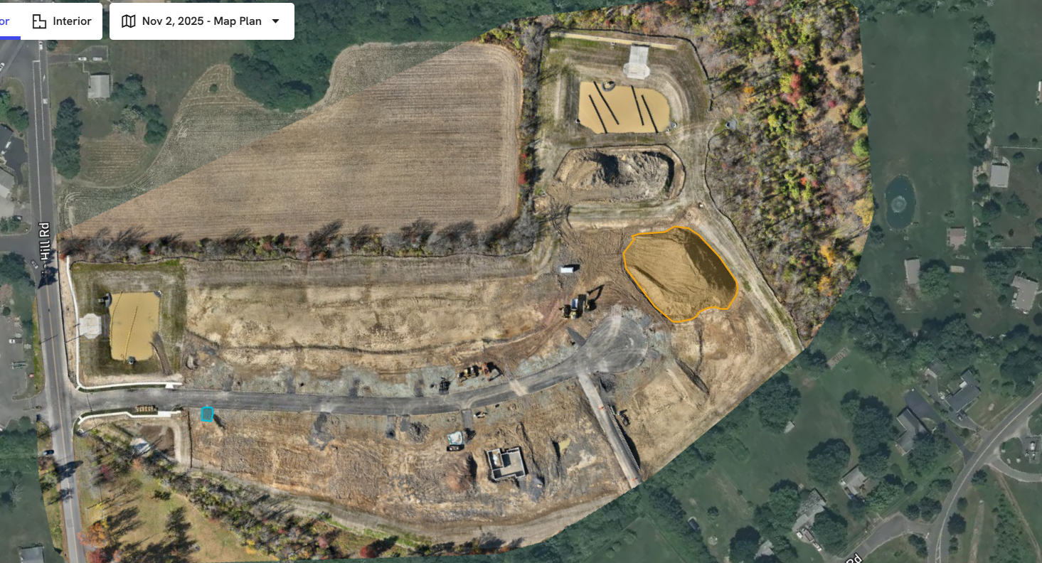
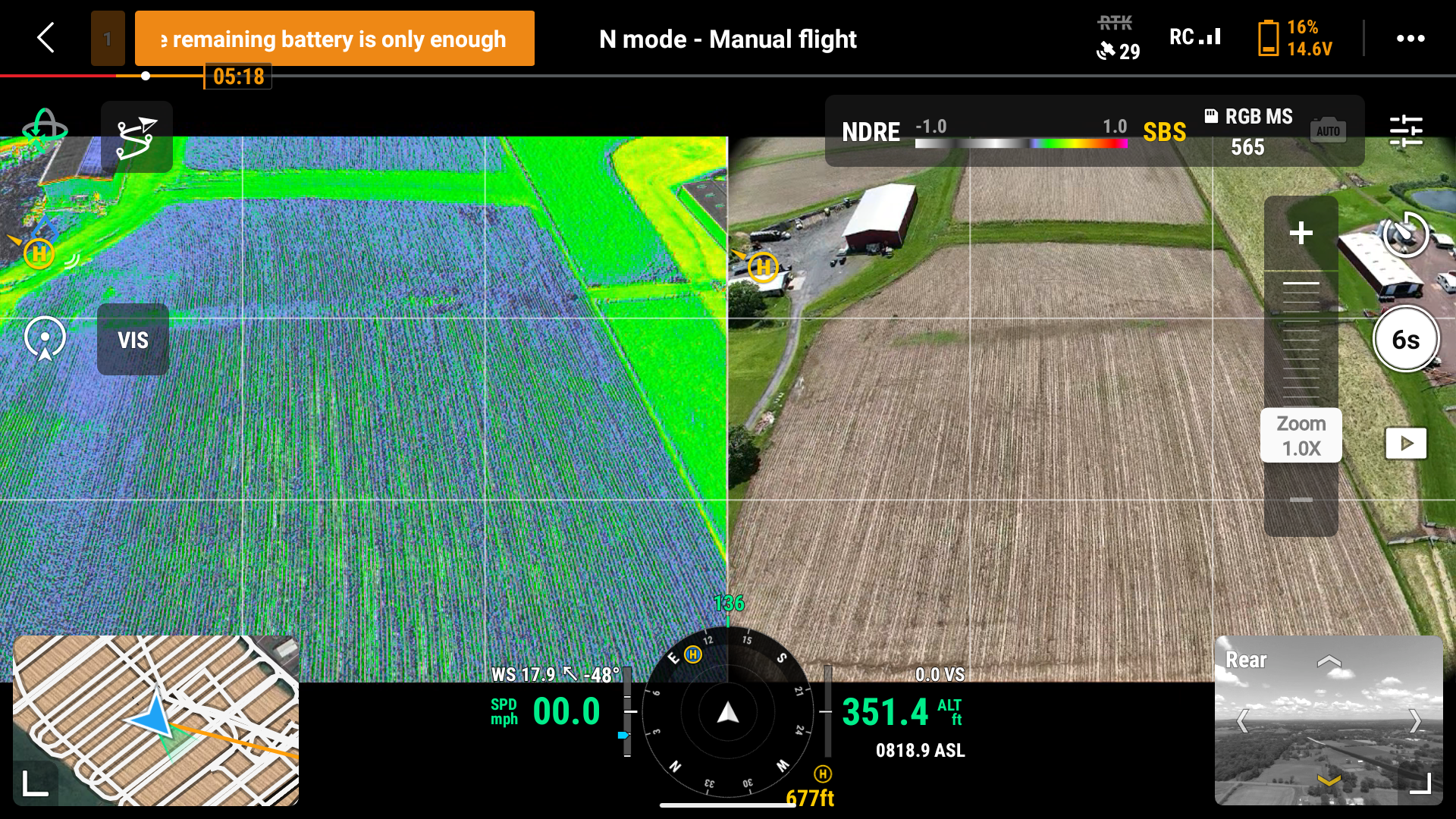
From crop monitoring and construction mapping to solar inspections, our work demonstrates how professional drone imaging delivers measurable results and meaningful impact.
Each project below highlights how we apply aviation discipline, cutting-edge technology, and precision data collection to help clients see more, decide faster, and work smarter